 |
 |
 |
 |
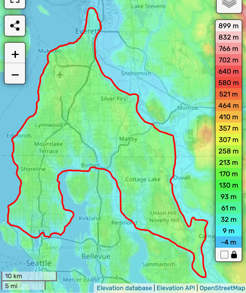
The cities in the southwest corner of Snohomish county are on a topographical feature which to my knowledge doesn't have a name, but possibly deserves one.
Upland till plains in many areas are cut by recessional meltwater channels and modern river channels. Till plains display north-south drumlins with long axes oriented in the ice-flow direction.
The three watersheds have their headwaters at about 500 ft elevation on the Snohomish “bench” area of glacial till and outwash soils.
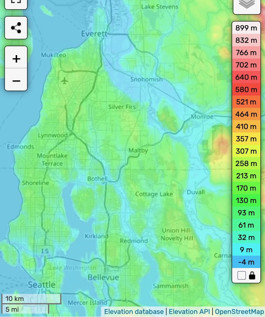
The Southwest Snohomish triangle is on a wishbone-shaped bench of land mostly above 300 ft in elevation and at places above 600 ft. The bench is neatly defined by Puget Sound on the NW side and the Snohomish river valley and Snoqualamie valley on its NE side. The Everett peninsula is the northernmost point of the bench. Shoreline and North Seattle, including Ballard and the University district are the western prong of the wishbone. Maltby, Cottage Lake, and Union Hill-Novelty Hill constitute the considerably less urban eastern prong of the wishbone.
The southern edge of the bench is defined by the Lake Washington Ship Canal with its locks at Ballard and man-made cuts at Fremont and Montlake, Lake Washington, the Sammmamish River, Lake Sammamish, and the valley containing SR 202 which is drained by Evans Creek to the west and Patterson Creek to the east. The surface of Lake Sammamish is 30 ft in elevation. It drains via the Sammamish River into Lake Washington, which is 16 ft in elevation. The creation of the Lake Washington Ship Canal lowered Lake Washington by 9 ft. The canal became the new outlet for Lake Washington, replaced the Black River which dried up.
There are high points on the bench are 643 ft at Hwy 99 and 148th, 653 ft at Clearview, and the highest point at Union Hill 679 feet. The col or highest point on the border of the bench appears to be in Evans Ck/Patterson Ck valley and is about 85 ft in elevation. The topographical prominence of the bench is thus almost 600 feet. The elevation of the panama canal is also 85 ft—if the elevation of the col is higher than that, the encirclement peak of the bench is Denali, otherwise it is Aconcagua.
The western edge of the bench consists of a province about a mile thick that drains directly into Puget Sound and features ravines or gulches with year-round streams in them. Much of the interior of the bench drains south to the Sammamish river and Lake Washington. From west to east there are three creeks that draining to the south: Swamp Creek, North Creek, and Little Bear Creek.
The bench is covered by glacial till which was deposited during the Vashon glaciation. During this glaciation, ice advanced south from Canada into the Puget Sound, reaching as far as the midpoint between Olympia and Chehalis about 16950 years ago. The glacier was at times and in places over 1000m thick. The till it deposited is a mixture of sand, clay, and rounded rocks and can be up to 125 thick in places, at least further south in Seattle.
- "Habitat Inventory and Assessment of Three Sammamish River Tributaries: North, Swamp and Little Bear Creeks", Fevold, May, Berge, and Ostergaard, May 2001
- "Geology of Seattle and the Seattle area, Washington", Kathy Goetz Troost and Derek B. Booth, 2008
- "The Glacial Geology of the City of Seattle", William James Stark and Donal Ray Mullineaux, 1950